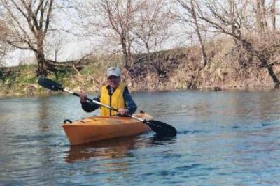
Pecatonica River Fishing Spot
- Elevation: 740'
- Last Modified By: vinny60 on 09/10/09 04:47 PM
- Ask about Pecatonica River in our Fishing Forums
Photos
Fish Species
Comments
-
Have you fished at Pecatonica River? Be the first to comment on this fishing spot.
Pecatonica River Description
The Pecatonica River is a tributary of the Rock River, 120 mi (193 km) long, in southern Wisconsin and northern Illinois in the United States. It rises in the hills of southwest Wisconsin, in southwest Iowa County, 2 mi (3.2 km) west of Cobb. It flows south, then southeast, past Calamine and Darlington. In southeast Lafayette County it receives the East Branch Pecatonica River, approximately 8 mi (13 km) north of the state line. It flows SSE into Illinois, past Freeport, where it turns east, then ENE, receiving the Sugar River in northern Winnebago County, 5 miles (8 km) south of the state line. It joins the Rock at Rockton, approximately 15 miles (25 km) north of Rockford. Public access areas on the Pecatonica River Water Trail 1. Brewster Landing (on Winslow Road) cement boat ramp. Ample off-road parking. Stephenson County owns this launch area. 2. West McConnell Road Bridge - The bridge is located 1/2 mile west of McConnell. Ample off-road parking southeast of bridge. Stephenson County owns this land. The broken cement boat ramp is about 500 feet downstream from the bridge (river left) on the east side of the river. Simply follow the one-lane path on top of the dike. There is limited parking in this area. 3. McNeil's/Damascus Landing - floating dock. NEW 2006 Lena Community Park District owns this 2 acre site on the north and west corner of the bridge. The bridge is on West Cedarville Road, about 5 miles east of Lena, or 3 miles west of Cedarville. Ample off-road parking. 4. Tutty's Crossing (in Freeport) - dirt river bank. NEW 2007 Located on IL Rte 75. Large, paved parking lot with nice mowed grass areas. This park is owned by City of Freeport. 5. Hancock Ave Bridge (in Freeport) - cement boat ramp. Located 300 feet upstream on the left side of river. Ample off-road parking. This boat dock area is owned by the City of Freeport. 6. V.F.W. Club, 1802 E. Shawnee (in Freeport). Cement ramp (park cars in northwest corner of parking lot) 7. Ridott Fishing Park on East River Road / Rock City Road Bridge - dirt river bank. Access area - north and west of bridge. Stephenson County owns strip of land between road and river. Ample off-road parking. 8. North Farwell Bridge Road Bridge - dirt river bank. Park vehicles on southeast side of bridge. Land owned by Pecatonica Prarie Path. 9. Winnebago County Fairgrounds, in Pecatonica - cement ramp. (above the broken down dam) 10. Pecatonica, Sumner Park (in the city) cement ramp. (below the broken down dam) - portage around the north side of the broken down dam.
The Pecatonica River is a tributary of the Rock River, 120 mi (193 km) long, in southern Wisconsin and northern Illinois in the United States. As it gets closer to the Rock River it obtains more streams. For instance the stream in Dodgeville WI flows into the Pecatonica River.